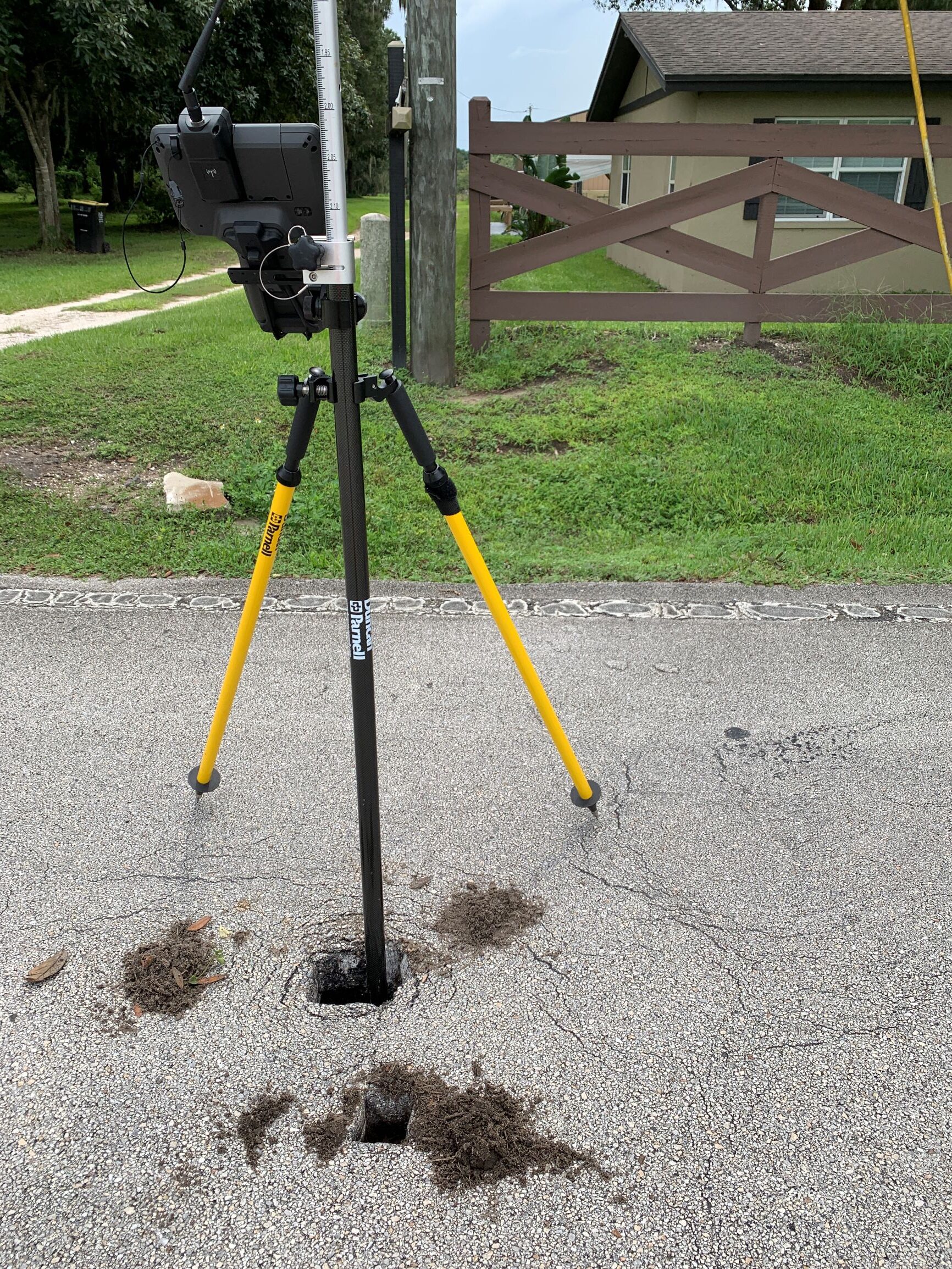
Using leading-edge technology, X-Terra can perform conventional/terrestrial based surveys, GNSS (Global Navigation Satellite System) surveys, and integrated (both conventional and GNSS) surveys accurately, reliably, and efficiently. All our data is processed in-house and delivered to client specifications.
Scanning
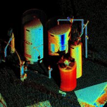
Combined with surveying or as a standalone service, X-Terra can accurately measure and collect point cloud data on objects, surfaces, buildings and landscapes with our high speed scanning equipment. All our data is processed in-house and delivered to client specifications.
Engineering
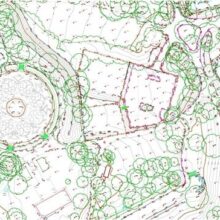
Our work products (digital point clouds, drawings, maps, and 3D models), can be used for a variety of engineering and architectural applications. Reduce time and error in measuring utilities, tanks, and buildings (both interior and exterior).
Company Profile
Mission: X-Terra Surveying and Mapping, LLC exists to provide accurate and reliable data for the purposes of measuring and mapping. We seek to improve understanding through our efforts and results.
Our name and logo tell you what we do. “X” marks the spot. Terra in Latin means land. X marks the spot on the land. There is more to the dotted “X.” The dots are a culmination of measurements that give you the result. They define the unknown value of X. Let X-Terra add value to your project.
X-Terra Surveying and Mapping, LLC was founded in March 2020 by Professional Surveyor and Mapper, Justin Harris.
Justin saw the blending of engineering and surveying as a viable work opportunity with many crossover applications. This led to the development of X-Terra Surveying and Mapping, LLC. At X-Terra, we value a steady, consistent, and honest work ethic. We expect to deliver complete and accurate projects for our clients on time, every time.
We offer big company services with a small business experience.
Free Consultations
Work Experience
Justin is a twice University of Florida graduate with Bachelor of Science degrees in Mechanical Engineering (1998) and Geomatics (2010). His working experience includes engineering and survey projects.
Most of his engineering background involves industrial process, maintenance, and construction engineering of fine paper, tissue paper, and towel paper machines and their converting operations.
Justin’s survey experience consists of working for the Geomatics Department of the University of Florida and private surveying firms in Polk County. He has taught Geomatics courses at the collegiate level. His practical surveying experience includes working in the field, managing projects, and developing client relations.
Surveying Services We Provide
X-Terra provides conventional survey services with expanded scanning applications geared towards engineering and architectural projects.
We determine the boundaries of real property from existing monumentation and documentation and produce a survey map.
We perform American Land Title Association (ALTA)/National Society of Professional Surveyors (NSPS) Surveys. ALTA surveys contain specific information that adds clarity and understanding between the client, the title insurance company, the lender, and the surveyor.
We subdivide large pieces of property into smaller parcels and tracts and process plats through county administration. Requirements vary across counties.
We map changes in elevations of the land or man-made features across a specific area of land.
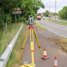
We can survey of a pre-existing or existing roadway/corridor for the purposes of constructing new roads, drainage, and/or utilities.
Scanning Applications
We can scan the changes in elevations of the land or man-made features across a specific area.
We can scan and survey pre-existing or existing roadways/corridors for the purposes of constructing new roads, drainage, and/or utilities.
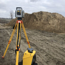
We can scan piles, stacks, holes, and voids of materials (dirt/sand, coal, fertilizer, wood chips, etc.) and quantify material volumes.
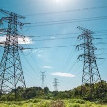
We can scan power lines, associated equipment, and structures for condition and clearance from vegetation.
We can scan the exterior and interior of tanks for size, volume, tilt, out of round, thickness, and inlet/outlet layout. Scans often include nozzles, access points, stairs/ladders, and nearby structures and terrain. We do this safely and efficiently.
Factors that Influence Survey Costs
- Parcel size/acreage: Typically, the larger a parcel is, the more time it takes to walk the property. Surveyors must carry equipment to each property corner for measurement. The more walking a surveyor does, the more time it takes to complete the field work.
- Vegetation: Vegetation can be plants, shrubs, bushes, and trees. Sometimes surveyors must navigate around vegetation. Sometimes surveyors must cut vegetation out of the line of sight of equipment. This is called cutting line. Navigating around plants and/or trees and cutting line adds time to field work.
- Improvements: Improvements are man-made objects added to property. They can be buildings, pools, driveways, sheds, tennis courts, fences, etc. Most residential surveys require accurate measurements of these items. The more improvements a piece of property has, the more measuring a surveyor must do. Often surveyors will measure improvements that may be off the property, just to verify that they do not encroach the property.
- Location: Property location from a surveyor’s office and access to property can factor into a survey’s cost. The further a job is from the surveyor’s office the more travel time and gas required to get there. Property in gated communities and very rural sites can increase the amount of time required for a surveyor to access property to be surveyed.
- Time Frame: When a client needs a survey completed can affect cost. Surveyors can be booked weeks in advance. Residential surveys themselves aren’t time consuming, typically taking only two days, part of a day in the field and part of a day in the office. It is the scheduling of those activities with ongoing work that creates the challenge.
- Date of Last Survey: Usually when property has been recently surveyed (recent meaning within the last 3 years), surveyors can easily follow in the footsteps of the preceding survey. However, when twenty or more years have past, surveyors often must do more field work and office research to find or replace property corners.
- Accessibility: Property in gated communities and very rural sites can increase the amount of time required for a surveyor to access property to be surveyed. Again, improvements such as fences can slow a surveyor down when completing field work.
Request for Service
Please contact X-Terra Surveying and Mapping, LLC to request any of our services. It is possible that we can provide a service not listed, especially if you have a specific project in mind.
All clients receive a written proposal for any services requested. Our proposals provide the client with the services, costs, and time frame for project completion. Should the client approve the proposal, they can sign and return it to X-Terra to begin work. X-Terra does not perform work without written client approval, nor do we perform work pro bono.
Get a free consultation today!
